


Someone cleverer than me once said that the road to hell is paved with good intentions. Our walk today was definitely a long way from hell, but still this quote is apt.
Yoni came back from the glamorous seaside resort of Shiamen feeling a bit run down. It happens.
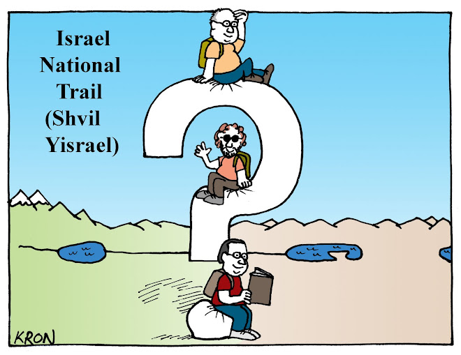
The route we had planned for today (the 2nd leg of shvil yisrael) was quite a long one (18 KM) so I suggested that we do a shorter route. This shorter route included only one short sharp climb and the rest a gentle downhill slope. Or so I thought. Or so the book said. In reality the short sharp climb wasn't too bad, but we got a bit lost...no, no, no. I'm getting ahead of myself.

Just let's say that in the end the route we took was not a lot shorter and probably at least as strenuous. Well, my intention was good.
So we started where we thought we would be finishing and headed south, past Nabi Yesha which is a ruined Muslim holy site that is the purported burial site of Yoshua Ben-Nun. Or so the book said.
Beyond the impressive ruins we sighted the horn of Naphtali. What a great name! It sounds like something out of a sci-fi movie. "Zappo, bring me the horn of Naphtali and we'll destroy once and for all the evil Groods" But I digress. In reality the horn of Naphtali is the highest peak in the area known as the Naphtali Highlands, opposite the settlement that goes by the name of Ramot Naphtali (Naphtali Heights). Could you guess that one of the ten tribes of the ancient Kingdom of Israel, Naphtali, inhabited this area?
It is indeed obviously the highest point in the area and access to it is from Nabi Yesha is via a small valley whose sole purpose is to make the ascent longer and steeper. Lucky that the views of the green scrub forest we were walking through and the Hula valley below us were so beautiful. Whilst the hill in front of us loomed imposing, the actual climb wasn't as bad as it looked. Certainly the views, as I have already mentioned, were beautiful, but as we ascended they just got better. Atop of the hill was a trig point which I was anxious to see. Once again, according to the book, a trig is the actual point of height above sea level that is gazetted and marked on a map. When we see on a map a little triangle with a number that represents height next to it, that is measured at the trig. Anyhow, at some point close to the top there was a fork in the road where we were unsure which way to go. Upon consulting the book we turned right. After a few hundred metres we saw a familiar orange, blue and white marking and we were convinced that we were on the right track. After a few hundred metres more the markings turned to black but again upon consultation with the map and the book it appeared as if this was still ok. After another 500 downhill metres the black markings continued, but upon further consultation with the map it appeared that by now this wasn't ok. Now this isn't the first, nor the second time that we've found ourselves unfound. Not exactly lost. Not exactly found. Just not exactly where we thought were meant to be and just not exactly knowing where we were. Whatever, this walking business is not always as exact as the book makes it out to be. There's a lesson to be learnt here. Don't believe everything you read in a book, even if it is THE book that is called "Shvil Yisrael".
Garry, Yoni and I have trouble defining what constitutes "lost" . Certainly we've had enough experience not knowing where we are over these past few years. Walking around in circles in 40 degree heat, ending up somehow at Yoni's car when we thought we were somewhere else and weren't looking for the car, is lost. Coming out of a path not where the map had us believe we would and having to hitch back to our car is sort of grey. I'd be happy for comments on what is "lost". We at least agreed that it has a range of grey from 1 to 10, and we've experienced most of the shades or at least will in the future. One of the lessons that we've learnt from being "not found" on a number of occasions is to recognise it early and rectify it before you get REALLY dark grey, 9 out of 10 lost. This we did.
We backtracked the kilometre or so we figured that we'd done since the last sign, including the steep uphill (reverse of downhill) and sure enough found an orange, blue and white marking that led us away from the horn of Naphtali.
We all have elements of our personalities that may be defined as childish. There are 2 that I will admit to. One is that I hate the idea of missing out on something. We're doing this walk, the trig is at the top and it's part of the walk. We don't miss it. But we did miss it. Hmph. Yes, I know, its only a trig point and spending another half hour further backtracking and finding the proper way up doesn't make sense. And those that know me might identify a certain propensity to whinge like a little boy when I don't get my own way. So there I was, near, but not on the top, of a mountain in the Galil, having already backtracked after missing a turn off, whinging about not getting to see my trig. Why do they put up with me?
The next 3 hours or so passed without incident. That's not to say that they were boring. Far from it. 3 boys walking through undulating hills and passing flowering meadows where contented cows grazed . The bright green of the verdant slopes combining with the rainbow hues of spring flowers, surrounded by hills and vales...yeah, yeah, yeah. You get the picture. I can't count how many times each of us would just let out a "Gee this is beautiful" for no reason other than we needed to give voice to the beauty.

When we weren't exclaiming how beautiful the countryside was, our conversation would range from the profane to the profound. We'd cure the world's problems, rate Obama's first 60 days, get depressed over the fate of Israel and its upcoming loony government or try to solve the world's water problems by making and selling water barrels or working for companies that will throw millions into cutting-edge water technology. Above all this we discussed 2 pertinent and pressing questions. One, where were we going to eat lunch? Two, How do they paint the 3 colored markings on the trail?
question: How many people does it take to paint the orange, blue and white stripes that mark shvil yisrael?
possible answers:
3 - one for each colour
1 -he carries 3 cans of paint with him along the route
1- he passes over the route 3 times, each time painting a different coloured stripe
1 - he carries a special 3 headed adjustable hi-tech roller
1- he carries 3 pad-a-wax's
1- what's pad-a-wax?
any other suggestions?
Without being too deep and meaningful there was something boyish and innocent about 3 friends walking through the hills at once talking about serious issues and meaningless frivolities.
By the time we got to the area above the Nachal Dishon we were starting to feel a little weary, but we had some more fun and games still ahead of us.
The steep descent into the Dishon reminded is that there were some 49 year old muscles that hadn't really worked today, and now it was their turn to get tired. By this stage we'd walked about 12 km. Not very far in geographic terms, but we'd gone from high views over the Hula beneath us, to low scrubby forest, to rolling hills and flowering fields, to deep canyon views to a fast running stream. Not bad in 12 km.
After 12 km today and 12 on the 1st leg, we still haven't met a single other walker along the trail.Here and there the occasional local, and that in itself a rarity. We can't work it out. Perhaps its an Israeli version of the Truman Show, where its all a hoax, and we're the only ones not in the know. The cows in the fields that we passed were robots with cameras, and the trees are plastic with cameras and the eagle that hovered above us was just a hi-tec camera drone. Perhaps that explains the missing trig. Go figure.
Here in the Dishon stream we actually left the shvill yisrael which continued upstream whilst we headed downstream to where my car was parked. A stroll. A lovely somewhat tired stroll along the banks of a fast running stream. The trouble was that this stream crossed the path on numerous occasions. The first time that path and stream met there was a large water pipe adjacent to the stream. Garry pranced over it. Yoni wasn't too sure so he got down on his bum and bummed his way across. I walked across with about as much confidence as a blind man crossing a highway without a cane or a guide dog. By the second and third crossing we were like kids in the playground at school. By the 4th crossing there was no water pipe. We had no choice but to wade across, with the water splashing up to our shins and knees. The feeling that we were kids at play only increased at each successive crossing, either by balancing acts on the pipe or wading through the stream.
With wet feet and tired muscles we got back to my car, all smiles after a fun 15 km day.
Oh yes. Food. Abu Rami in Rameh is something akin to our "local" hummus joint and since there were no decent hummus joints in the vicinity that we'd walked, it was off to Abu Rami. On Fridays and Saturdays the place is full of Jews, almost no Arabs, in the middle of an Arab village. But that's another story altogether.
